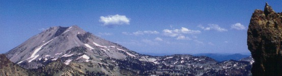
Lassen Volcanic National Park, CA – A Peak Experience
2July 22, 2017 by Deborah W. Trotter
If you were thinking about climbing Lassen Peak this weekend, go directly to Plan B. Because of the record amounts of snowfall during the past winter, you still cannot drive all the way to the peak trail parking lot. The road is scheduled to be fully plowed and open sometime next week. This will be the latest the Park road has ever opened.
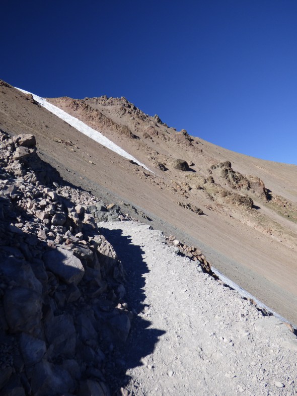
But be patient. Later in the summer or fall, the trail will be dry and fully accessible. My husband and I hiked to the top of Lassen Peak near the end of last September for the first time in many years.
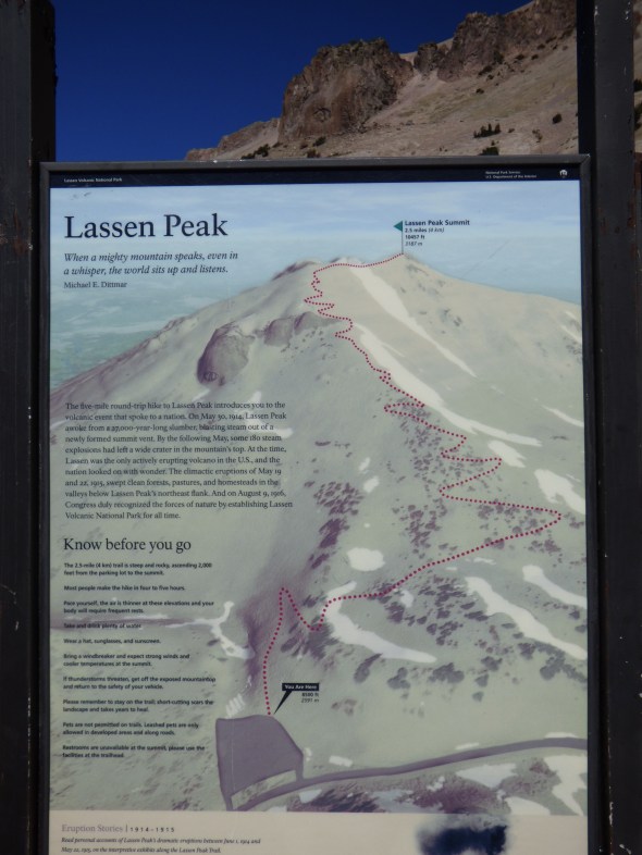 The trail climbs steadily up from an elevation of 8,200 feet at the parking lot, 2 1/2 miles to the 10,457 foot peak. Surprisingly (okay, not surprisingly), it seemed to take me longer to get to the top than it had in the past! But it was worth the time and effort, as always.

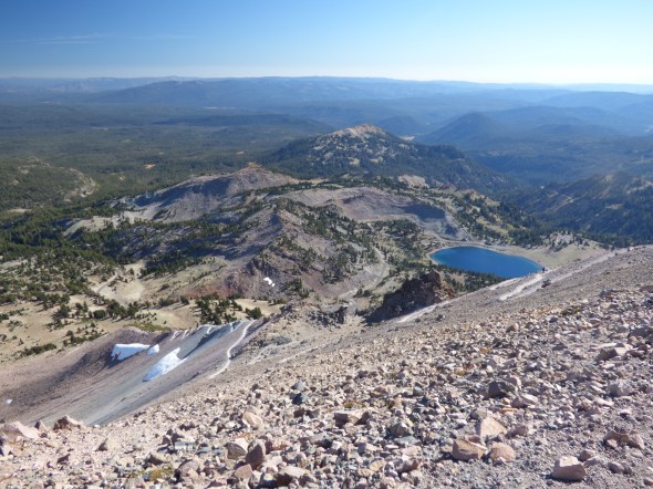
In the photo above you can see the trail switch-backing up the mountain with sapphire blue Lake Helen below, and all the way up and back down, the hike provides birds’ eye views of many of the natural features of my favorite national park.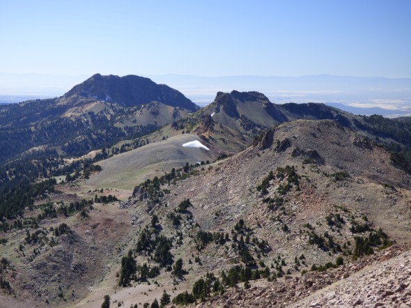


From the top you can see Mt. Shasta about 90 miles to the north, and even if the air quality is not pristine, you are aware of the Sierras, the Coast Range, the Sacramento Valley and the vast natural landscape of northern California.

Before leaving Lassen Park, we drove the rest of the loop highway, stopping at a favorite photo spot at Kings Creek Meadow to look back up at the amazing mountain we had stood on top of hours before. (One of my photos above looks down at Kings Creek Meadow from the peak.)

And one final stop at iconic Manzanita Lake.
Depending on your experience, age and hiking ability, you can make it to the top of the peak and back down in a couple of hours, but if you have more time, make a day of it. You won’t regret it.

So glad to see a new story and photos! I really like your descriptions – I feel as if I’m there. Thank you!!
My pleasure!